
Decoding the technologies of tomorrow, today.
Exploring the breakthrough innovations shaping our world. From AI infrastructure and robotics to biotech, quantum computing, and spatial tech.
Exploring the breakthrough innovations shaping our world. From AI infrastructure and robotics to biotech, quantum computing, and spatial tech.
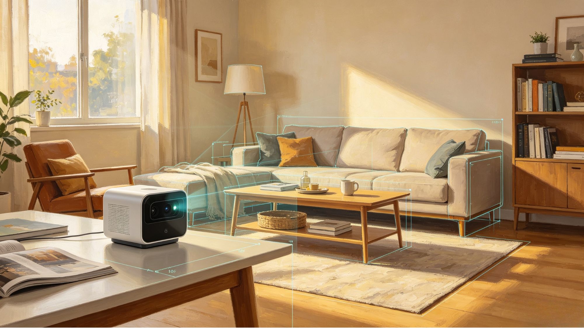
Modern devices are becoming increasingly capable of understanding the physical world around them. A robot navigating through a warehouse, a smartphone placing a virtual object on a table, or a mixed reality headset creating interactive digital spaces all depend on one fundamental capability: spatial mapping.
Spatial mapping allows computers to measure, interpret, and recreate physical environments in digital form. By combining depth-sensing hardware such as LiDAR and depth cameras with algorithms like Simultaneous Localization and Mapping (SLAM), devices can build detailed representations of rooms, objects, and landscapes while continuously tracking their own position.
This technology has become a key foundation for robotics, autonomous systems, augmented reality, and spatial computing.
Before a computer can understand a physical environment, it first needs accurate information about distance and geometry. Traditional cameras capture color and visual details, but spatial computing systems require additional depth information to understand the size, position, and structure of objects.
Different sensing technologies provide this information in different ways.
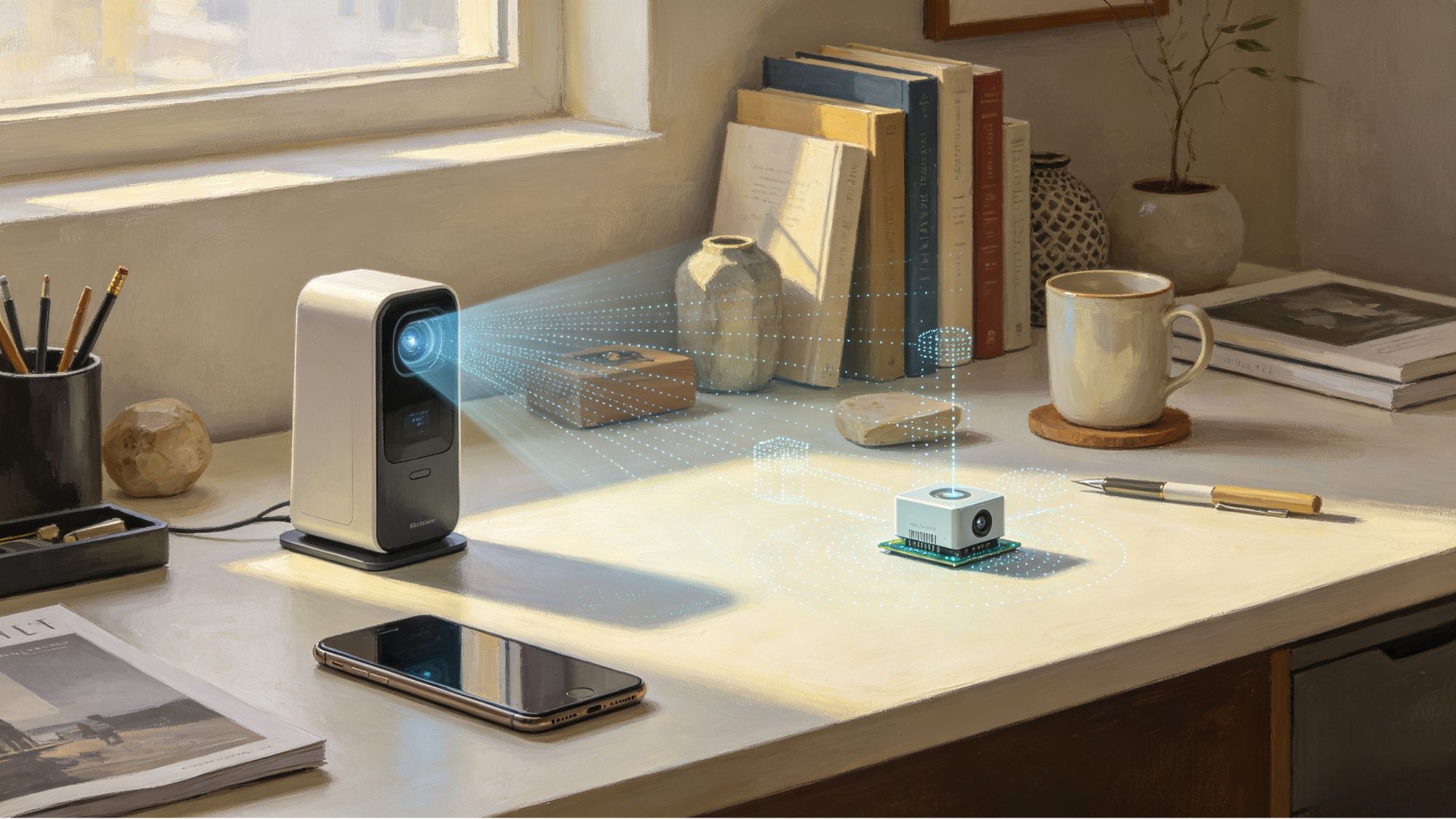
Light Detection and Ranging (LiDAR) systems determine distance by sending out laser pulses and measuring how long those signals take to return after hitting a surface.
Because light travels at a predictable speed, the system can calculate the distance between the sensor and surrounding objects. By collecting thousands or millions of measurements, LiDAR creates a three-dimensional point cloud containing detailed information about the environment.
Each point represents a specific location in space, allowing computers to identify walls, furniture, terrain, vehicles, and other physical structures.
LiDAR is especially valuable in situations that require accurate long-distance measurements, including autonomous vehicles, industrial scanning, and large-scale mapping.
For smaller devices such as smartphones, tablets, and consumer mixed reality hardware, depth sensors often provide a more compact solution.
Many depth cameras use infrared technology or structured light systems. These sensors project invisible patterns onto nearby surfaces and analyze how those patterns change when they interact with different objects.
By comparing these variations, the device can estimate the distance of each point in the scene and create a depth map.
Although depth sensors typically operate at shorter ranges than LiDAR, they are efficient for indoor applications such as room scanning, object placement, and interactive AR experiences.
Collecting depth data is only the first step. A device still needs to understand where it is located while building a map of its surroundings.
This creates a fundamental challenge: the system needs a map to know its position, but it also needs its position to create an accurate map.
Simultaneous Localization and Mapping (SLAM) solves this problem by performing both tasks at the same time.
A typical SLAM system combines information from cameras, depth sensors, LiDAR, and Inertial Measurement Units (IMUs).
Motion Tracking: The system analyzes changes between consecutive sensor readings to estimate how the device moves through space.
Feature Recognition: Algorithms identify stable visual features, such as corners, edges, and surface patterns, to determine the device’s position relative to the environment.
Map Optimization: As the system collects more information, it continuously adjusts the digital map to reduce errors caused by sensor limitations.
Loop Closure: When a device returns to a previously scanned location, SLAM algorithms recognize familiar features and correct accumulated positioning errors.
This process allows robots, headsets, and mobile devices to maintain accurate spatial awareness even while moving through complex environments.
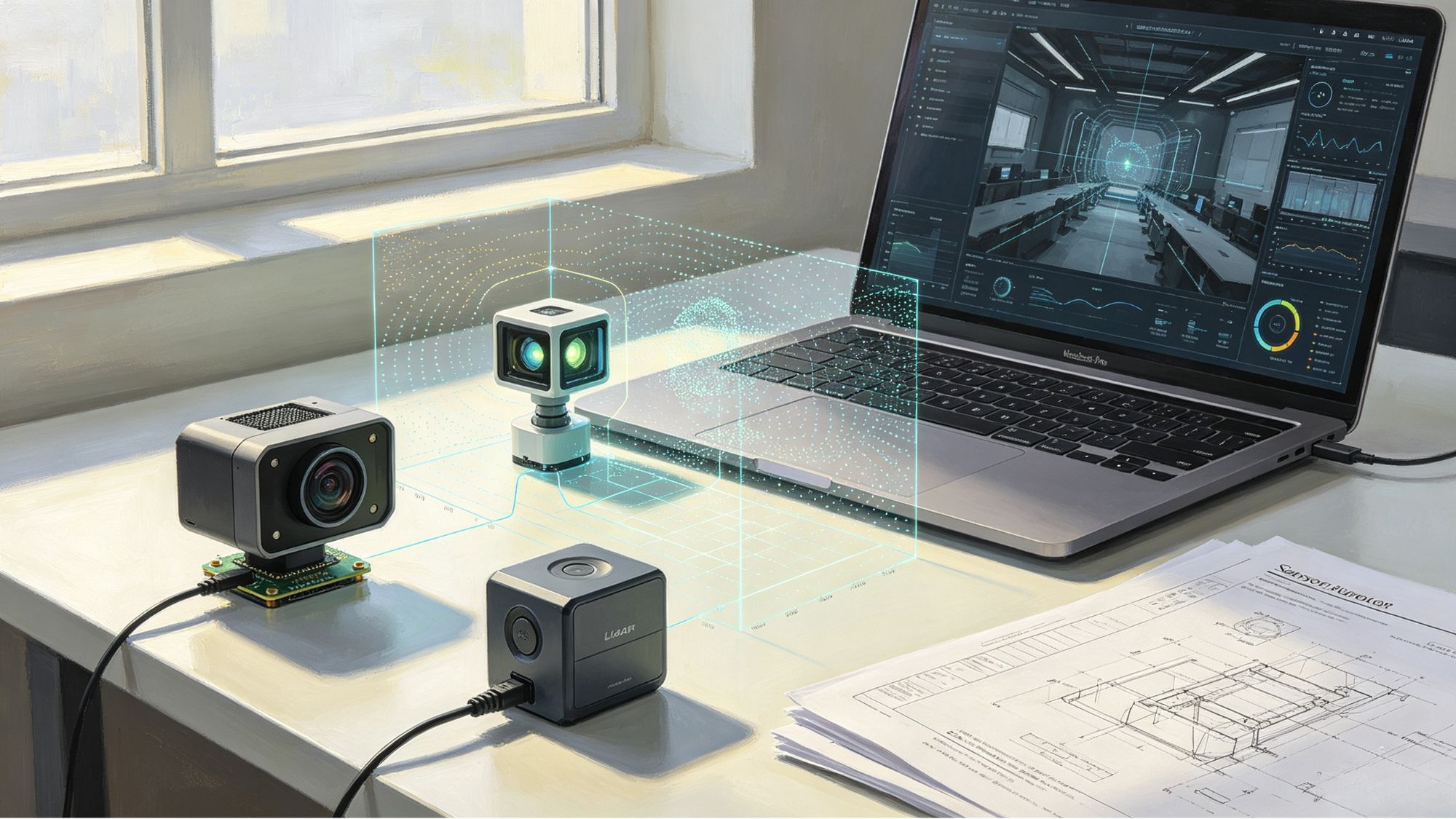
No single sensor works perfectly in every situation. LiDAR provides excellent distance measurements but may struggle with certain surfaces, such as transparent glass. Cameras capture rich visual information but can be affected by poor lighting conditions. IMUs respond quickly to movement but gradually accumulate small measurement errors.
To overcome these limitations, modern systems rely on sensor fusion.
By combining data from multiple sources, devices can compensate for individual weaknesses:
Cameras provide visual context and help recognize environmental features.
LiDAR and depth sensors provide accurate distance measurements.
IMUs provide rapid movement tracking between visual updates.
Together, these technologies create a more stable understanding of physical space.
The combination of LiDAR, depth sensing, and SLAM has moved beyond research environments and is now used in many practical applications.
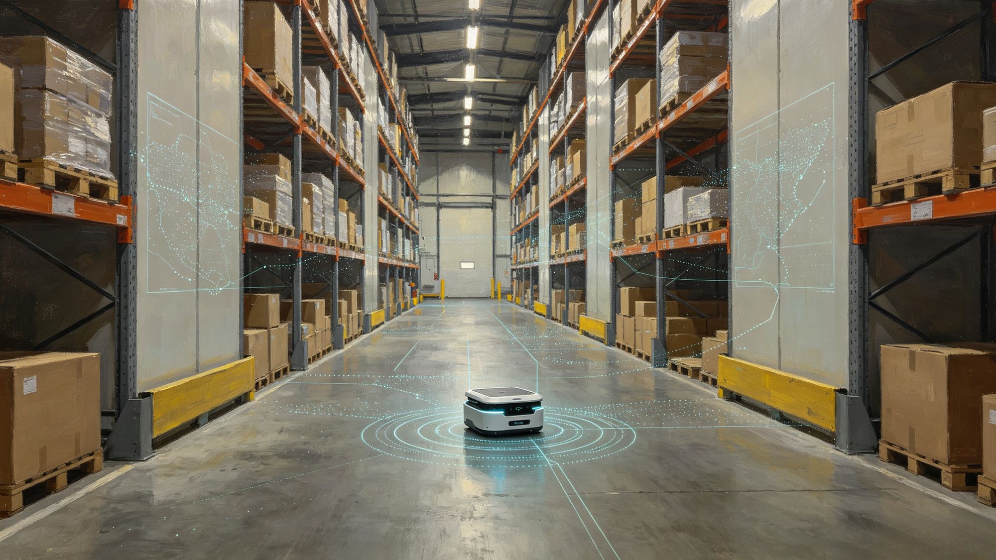
Self-driving vehicles and autonomous robots use spatial mapping to understand their surroundings, detect obstacles, and navigate environments where GPS signals may be unavailable.
Architects, engineers, and construction teams use spatial scanning technologies to create digital versions of buildings. These models help with design planning, inspections, and facility management.
AR and MR devices use spatial mapping to place digital objects accurately within physical environments. Virtual furniture can appear on real floors, training simulations can interact with physical equipment, and digital content can remain anchored to specific locations.
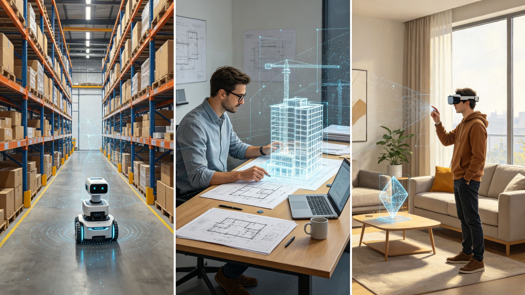
Spatial mapping serves as the connection between physical environments and digital systems. By combining LiDAR, depth sensors, and SLAM algorithms, modern devices can understand where they are, what surrounds them, and how digital information should interact with the real world.
As sensing hardware becomes smaller and algorithms become more efficient, spatial mapping will continue to support the growth of robotics, augmented reality, and mixed reality applications, gradually becoming an essential part of everyday computing experiences.